
Utah Block Sources for Neighbors
Utah has no statewide block roster. Parcel maps show parcel IDs and lines; assessor files add owner and situs or mailing fields. Voter records, plats, and civic pages answer narrower questions. Label each result by custodian, field, and date. One source should not be used to guess who lives in a house.
| Source | What It Shows About a Block | Access |
|---|---|---|
| Utah State Parcels and county GIS | Adjacent shapes, parcel IDs, and county owner/address records | State map; county source for official fields |
| County assessor roll | Parcel number, owner, tax fields, and situs or mailing address | County portal or assessor; source details vary |
| UGRC address points | Address, unit, landmark, city/ZIP, source/date, and location codes | State GIS; local authority controls the address |
| Recorded plats and legal descriptions | Lot, block, subdivision, dedication, vacation, and parcel links | Recorder index, plat records, or archive |
| Voter public category | Defined name, address, age, precinct, party, and status fields | Self-lookup or separate request; protections apply |
| Community and association records | Council geography or an association’s public identity | City page or state HOA name search |
| Historical block sources | Former buildings, addresses, businesses, and dated events | Library, newspaper, cemetery owner, or archive |
These records do not make a complete household list. An owner may live elsewhere, appear through a trust or company, or have an old county address. Mailing and situs fields differ, and voter data can be redacted. A tax owner is not automatically an occupant. Use the state map to locate a parcel, then follow the county link for ownership fields or a recorded plat when exact legal boundaries matter. A GIS refresh date and a deed recording date describe different events.
- Parcel
- A mapped property unit identified by a parcel ID in county tax and GIS records.
- Situs address
- The location address associated with a parcel; a mailing address may instead receive notices.
- Address point
- A mapped address feature compiled from local data, with source and update details that can vary by county.
- Plat
- A recorded map of lots, blocks, subdivisions, and changes such as dedications or vacations.
Utah Adjacent Parcel Records
A parcel map is not a ready-made list of nearby households. A corner lot may touch several parcels; roads, alleys, canals, railways, and shared strips can break apparent edges. Condos and multi-unit sites may place many addresses on one tax parcel, so check unit fields and plats.
For each neighbor parcel, save its ID, county, source/date, situs and mailing addresses, owner or entity, subdivision, lot/block, and source link. Use compass directions only when the geometry supports them. Open the county record before treating an owner field as current. Irregular blocks, bends, shared strips, and alleys can make visual adjacency uncertain; retain the parcel IDs and plat reference so another reader can retrace the boundary.
UGRC address points cover all 29 counties with address, unit, landmark, city, ZIP, source/date, FIPS/USNG, and authority fields. Refreshes are more frequent in Weber, Davis, Salt Lake, Utah, and Washington than rural counties. Check the date; the local city or county controls address assignments. The point locates an address in the layer, while a parcel polygon describes a tax-map feature; neither independently identifies an occupant.
Utah Neighbor Parcel Map Steps
Start with one address and record its adjoining parcel IDs. Support the block edge with map geometry and preserve the source wording and date; do not infer occupants.
- Search in Utah State Parcels or county GIS; select the parcel matching the address and county.
- Save its ID, date, street wording, city label, and truly adjoining shapes.
- Open each county record and separate owner, mailing, situs, and legal-description fields.
- Check the plat or recorder if an alley, irregular corner, or common area obscures the line.
- For a full address-keyed street trail, continue with the Utah street directory rather than widening a block sample by guesswork.
Keep original parcel IDs: map geometry can change and owners can be entities or former owners. A parcel map cannot establish who lives in a unit.
Utah Community Council Records
Salt Lake City’s map supplies civic geography: each council district has community councils, and the map shows council and neighborhood context. A place label can guide meeting, newsletter, planning-minute, historic-overlay, or newspaper searches. It is not a member roster.
The Salt Lake City community-councils page is the official route to its representation map and council links.
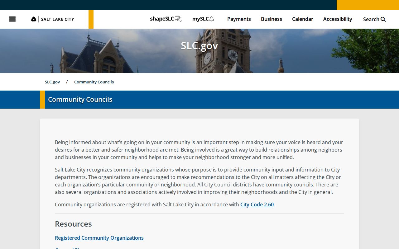
A council boundary is not proof of personal membership.
| Utah civic label | Useful record trail | What the label cannot show |
|---|---|---|
| Glendale, Jordan Meadows, Poplar Grove, Rose Park, and Westpointe | Local newsletters, planning minutes, historic overlays, and newspaper terms | Which people live on one block or take part in a council |
| Greater Avenues, Liberty Wells, Sugar House, and Wasatch Hollow | Neighborhood context for a map, council, or local-history search | A complete member list or proof of an individual’s affiliation |
| Granary and Midtown Business District | Area and business-district wording for local civic research | Everyone who owns, works, or lives nearby |
| Westside Coalition | A named local coalition to include in a civic or neighborhood search | Membership of any address or household |
These names are a civic layer for finding local meeting and planning material. Verify an actual city or county jurisdiction with that government’s map or clerk; council geography does not set parcel lines or list all residents.
Outside Salt Lake City, use the local association, planning area, commission, or school district named by that city or county. The Salt Lake map does not extend across municipal lines; contact the local clerk for records not online.
Utah HOA Records for Neighbors
Utah’s HOA registry began September 8, 2025. Search a full or partial legal name or alias to identify an association; registration and contact data do not reveal members or everyone on a block.
The Utah HOA registry search is the official way to test a legal name or alias.
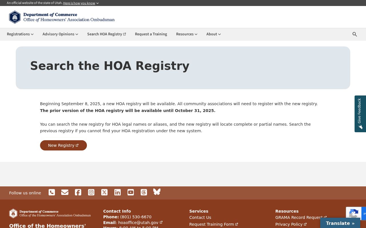
The entry identifies an association, not a private member list.
Outside Salt Lake City, check local city, county, or association records. Planning pages or notices may be public; the state search is not a substitute for a roster.
Utah Voter Records for Neighbors
Public voter fields can include name, physical and mailing addresses, birth year or age range, party, and participation history, not vote choice. The Vote.Utah.gov portal is for self-status and polling place; block-level data comes through a separate state or county request.
The statewide file adds voter ID, county, precinct, legislative and local districts, active/inactive status, and last update. It excludes Social Security and driver/state-ID numbers, full birth date, phone, email, signature, and protected addresses. See the Utah voter privacy page. Bulk access and self-lookup are separate systems, so do not use a public request to bypass a protected-field rule.
At-risk status and Safe at Home protect qualifying addresses. Do not reconstruct a physical location from parcels, voter fields, court entries, or social clues. Contact the county clerk for local corrections.
The Utah voter data request page lists statewide, county, district, and election-file routes; it is not a people-search box.
Utah Neighbor Search History: Social Hall
For older Utah records, preserve the source street name. Salt Lake City’s Social Hall Avenue became Motor Avenue in 1926 and returned by 1950. Search both names, record the date and wording, and compare plats before matching addresses.
Salt Lake atlas plats show street changes and numbered sections, including closures, widening, vacations, and dedications. The Utah Historical Society’s library collections include maps, newspapers, books, and microfilm. For an old address, retain the publication date, page or image, OCR status, and source wording; a modern map pin cannot confirm a historic location.
Cemetery channels are owner-specific: Salt Lake City Cemetery has its own surname search and map; elsewhere ask the cemetery owner, sexton, or parks office. Newspapers and archives can add a dated address or family connection. A notice or grave is historical evidence, not a current neighbor list.
Open the Salt Lake City Cemetery page for its own map and search route.
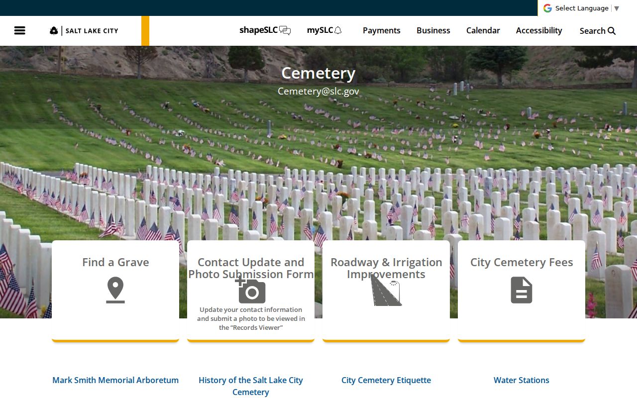
Other Utah cemeteries set their own search and contact routes.
Utah Official and Commercial Neighbor Tools
Government custodians are the source for parcel lines, plats, public voter fields, and civic boundaries. Treat a commercial summary as a separate compiled product; check the underlying record and date.
| Category | What it can show | How to read it |
|---|---|---|
| Official Utah rolls and maps | Parcel ID, legal description, situs or mailing field, public voter category, or council geography | The custodian, field type, and source date are visible; each record still has a defined scope |
| Commercial neighbor-search tools | A compiled neighbor or address summary drawn from multiple record sources | It is not an official roll; check the underlying custodian record and do not infer a current occupant |
Neither category proves that an owner lives there. Compare date, unit, subdivision, and source.
Utah Neighbor Search Privacy Limits
Utah records vary in access. At-risk and Safe at Home addresses stay protected; sealed, expunged, juvenile, adoption, and other restricted cases are not public. A custodian’s limit is not a puzzle to solve elsewhere.
Keep civic, family, and property records in context. Do not publish speculative household lists or combine unrelated names from a map. Contact the custodian about errors or make a focused GRAMA request through the local records officer or Utah Archives Open Records Portal. When an online record is not available, county offices and local authorities remain the source for their own files.
Lawful use. Use a Utah neighbor search for a specific, lawful personal or civic question. Do not use records to monitor, stalk, harass, threaten, or intimidate another person, and respect every protected-address rule.
Maps and public rolls show land, addresses, and defined records, not the full story of a block. Save dates and stop where evidence or access ends.